
Newberg ZIP Code Directory Coverage
Official sources reviewed for Newberg identify one standard city ZIP: 97132. Oregon’s ZIP listing associates it with Newberg, the Newberg post office, and Yamhill County. The Oregon Blue Book also uses 97132 for Newberg City Hall. The official USPS facility listing places the Newberg Post Office at 116 N Everest St., Newberg, OR 97132. No official source in the research identified a second Newberg ZIP, a separate PO-box-only ZIP, or a unique institutional ZIP. A broader delivery territory is not evidence of another city ZIP.
| ZIP | Confirmed Newberg coverage | Post office | Boundary record note |
|---|---|---|---|
| 97132 | Newberg city and a broader Newberg mail-delivery area | Newberg Post Office, 116 N Everest St. | Standard ZIP, not a City Limit polygon. No other official Newberg ZIP was located. |
The Oregon Metro delivery-boundary map is designed to show standard, unique, and post-office ZIP geography with city areas, county lines, and streets.
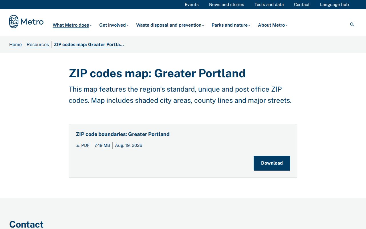
The map is useful for comparing delivery geography with the City’s separate boundary layer. It does not add a second Newberg ZIP.
Newberg ZIP and City Limits
ZIP boundaries answer a delivery question. Newberg city limits answer a jurisdiction question. A mailing address written as Newberg, OR 97132 may be in the postal area without being inside the incorporated City. In the other direction, the correct custodian for a property record is set by the parcel and governmental boundary, not merely by the postal city on an envelope. Use the Metro map for a regional comparison, then use Newberg’s City Limit layer when a City permit, planning record, or municipal minute is needed.
Newberg’s boundary history makes the distinction practical. The City reports that ODOT and mill-site annexations approved in December 2021 took effect January 19, 2022. Its 2026 urban growth boundary process can affect future urban geography. Land inside the urban growth boundary is not automatically within City limits. Yamhill County property and recording routes remain countywide, while City Community Development records depend on City jurisdiction.
Records geography. A Newberg ZIP is delivery geography, not proof of a City record, a City address, or a City records custodian. Confirm the actual parcel boundary before making a municipal request.
Verify a Newberg ZIP
Use a deliverable street address to verify the assigned ZIP and ZIP+4 through the USPS address-lookup route, then compare it with the Metro ZIP map when the city edge is relevant. A ZIP+4 is an added delivery segment attached to the basic five-digit ZIP. It helps confirm a particular address. It is not a city-limit marker and does not convert an address into a parcel identifier.
Newberg street forms deserve special care. City address-assignment documents use directional components such as N Page Drive and E Columbia Drive. A 2018 Page Landing notice says an East directional appears on City street signs even though an older plat depiction did not show it. Enter the current directional form first. For an older address, preserve the source spelling and compare a version without the directional or with a different street-type abbreviation.
Note: No official citywide Newberg renumbering event or formal address-conversion chart was found in the reviewed sources.
Newberg ZIP Search Steps
A ZIP can reduce false matches for a known street, but it does not produce a list of people within 97132. The Yamhill Assessor’s public form requires a street address for the address path and accepts ZIP only as an optional narrowing field. Start with an exact address, retain the returned account or tax lot, then use the parcel details for the next records question.
- Confirm the full Newberg address and its delivery ZIP, including the directional and street type.
- Enter the street address in the County’s Ascend form, adding 97132 only to narrow a recurring street name.
- Save the account or tax-lot result and inspect the GIS parcel attributes for situs ZIP, owner field, mailing ZIP, and deed clues.
- Use the legal-description or recording clues for a recorded document, or use City records only after confirming City jurisdiction.
Once the ZIP has narrowed a street, the Newberg Street Directory provides the fuller address-to-parcel and deed workflow.
Newberg Search Fields by ZIP
The Yamhill County Ascend Property Search supplies the ZIP-capable field set. Its public landing form shows no owner-name field. Use the address route and retain the parcel result rather than expecting a broad ZIP browse.
| Ascend field | Type | Required | Published format or limit |
|---|---|---|---|
| Account No. | Text | No, alternate route | At least two characters. |
| Alternate Account No. | Text | No | Use when already known. |
| Street Address | Text | Yes for address route | Examples include Main, 123 Main St, and 123% Main. |
| City, State/Province, ZIP/Postal Code | Text | No | Optional narrowing fields; most fields need three characters. |
The available ZIP field supports a precise address search. It does not make the property system a directory of all Newberg residents.
Newberg Situs and Mailing ZIPs
Yamhill County’s tax-lot data keep physical-property and tax-correspondence geography in different fields. The layer includes situs address, city, and ZIP, followed separately by owner fields and mailing address, city, state, and ZIP. A situs ZIP describes the parcel’s physical location. A mailing ZIP identifies where tax statements are directed. Neither field proves that a named owner is an occupant or identifies every person at the parcel.
The Yamhill County tax-lot feature layer is the public data source for the separate situs and mailing attributes.
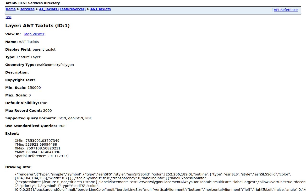
Use the parcel account, map tax lot, and legal-description context to move toward a deed. Do not substitute a mailing ZIP for a physical location.
Note: Separate situs and mailing ZIP fields describe parcel and tax-correspondence geography, not a verified list of current occupants.
Newberg ZIP and Voter Records
Oregon My Vote is a voter’s own registration and ballot-status service, not a way to browse everyone in a Newberg ZIP. The reviewed live portal displayed CAPTCHA, so its exact field set was not collected and should not be assumed. Oregon’s public voter-file rules are separate from the personal lookup. They include limits on disclosure, protected voter addresses, and Address Confidentiality Program information. A ZIP does not remove those protections.
The statewide voter-list route is a request channel rather than a public ZIP browser. Oregon describes electronic statewide or less-than-statewide data fees and allows time for processing; non-electronic lists are requested from the County Clerk. Public fields and permitted uses are regulated, while Social Security numbers, driver-license numbers, signatures, full birth dates, and protected addresses are excluded. For an ordinary Newberg address inquiry, use the parcel and jurisdiction workflow instead of treating an election record as an address directory.
Newberg Permit Search Boundaries
Newberg City permit and planning records are addressed records, not ZIP-wide resident records. The City Recorder directs users to search permits by address in ORMS. The reviewed results show Title, Created Date, Record Number, Extension, and a detail link. Community Development also points to an Active Permits, Projects & Development Map and OpenGov search. Use an exact address and a date range when the question concerns a project, plan, or public land-use file.
Residential plans are retained for two years and commercial plans for five years, while the City continues adding material to ORMS. A missing hit is not proof that no record exists. The City’s public-records request form is the fallback for an older permit, plan, or unindexed file. Check the City Limit layer first, because an address with a Newberg postal label can still fall outside City jurisdiction.
Note: A permit may document an address and project, but it does not establish who currently lives there.
Newberg Directional Address Forms
Directional prefixes are a Newberg search quirk with real practical value. The City’s address-assignment notices use N and E components, and the Page Landing notice preserves the mismatch between a current East directional and an older plat depiction. Historic sidewalk research also found differences in numbered-street notation and suffix punctuation. When an address is drawn from a historic directory, map, deed, or newspaper item, keep the printed form in notes before normalizing it for a modern search.
Try the original form, the current directional form, a version without the directional, and an abbreviated or fully spelled street type. Then compare the parcel map, nearby cross streets, and legal description. This protects against a false match caused by an address style change rather than a documented move or change in ownership.
Note: A matching directional, cross street, and parcel context are stronger evidence than a ZIP match alone.
Newberg ZIP Code Terms
These terms keep the Newberg lookup focused on delivery and parcel geography rather than unsupported conclusions about people.
- ZIP and ZIP+4
- A five-digit delivery area and its added address-specific delivery segment.
- PO-box ZIP
- A ZIP assigned only for post-office boxes. No separate Newberg PO-box ZIP was found in the reviewed official sources.
- Unique ZIP
- A ZIP assigned to one organization or destination. No unique Newberg city ZIP was verified.
- Carrier route
- A postal delivery grouping, not a municipal boundary or parcel identifier.
- Legal description
- The lot, block, metes-and-bounds, plat, parcel, or prior-record reference the Clerk uses for land records.
Newberg ZIP Code Jurisdiction
Use the record holder that fits the question. Yamhill County Assessment and GIS manage parcel and account information. The Yamhill County Clerk holds countywide recorded property documents. Newberg Community Development and the City Recorder hold City-side planning, permit, ordinance, resolution, and request routes. A state source may hold a statewide record class. ZIP alone cannot choose among those custodians.
For a Newberg address near the city edge, first verify the delivery ZIP, then the parcel and City Limit status. That sequence prevents a city request for a county parcel or a parcel search mistaken for a municipal record. It also keeps the verified one-ZIP inventory honest: 97132 is Newberg’s confirmed standard ZIP, not a catchall for every government-record boundary.
When the next question is a recorded transfer, convert the address through the assessment account and map tax lot before approaching the Clerk. The Clerk uses a legal description, such as a lot and block, metes and bounds, a partition plat or parcel number, or a prior recording reference. A street address and ZIP are not a legal description. The Digital Research Room presents a disclaimer and login gateway, while the Clerk’s public research lobby provides free document viewing when online access is incomplete or unavailable.